 地理专业英语ppt里面的内容.docx
- 文档编号:29477526
- 上传时间:2023-07-23
- 格式:DOCX
- 页数:27
- 大小:29.74KB
地理专业英语ppt里面的内容.docx
《地理专业英语ppt里面的内容.docx》由会员分享,可在线阅读,更多相关《地理专业英语ppt里面的内容.docx(27页珍藏版)》请在冰豆网上搜索。

地理专业英语ppt里面的内容
EnglishforGeography
地理专业英语
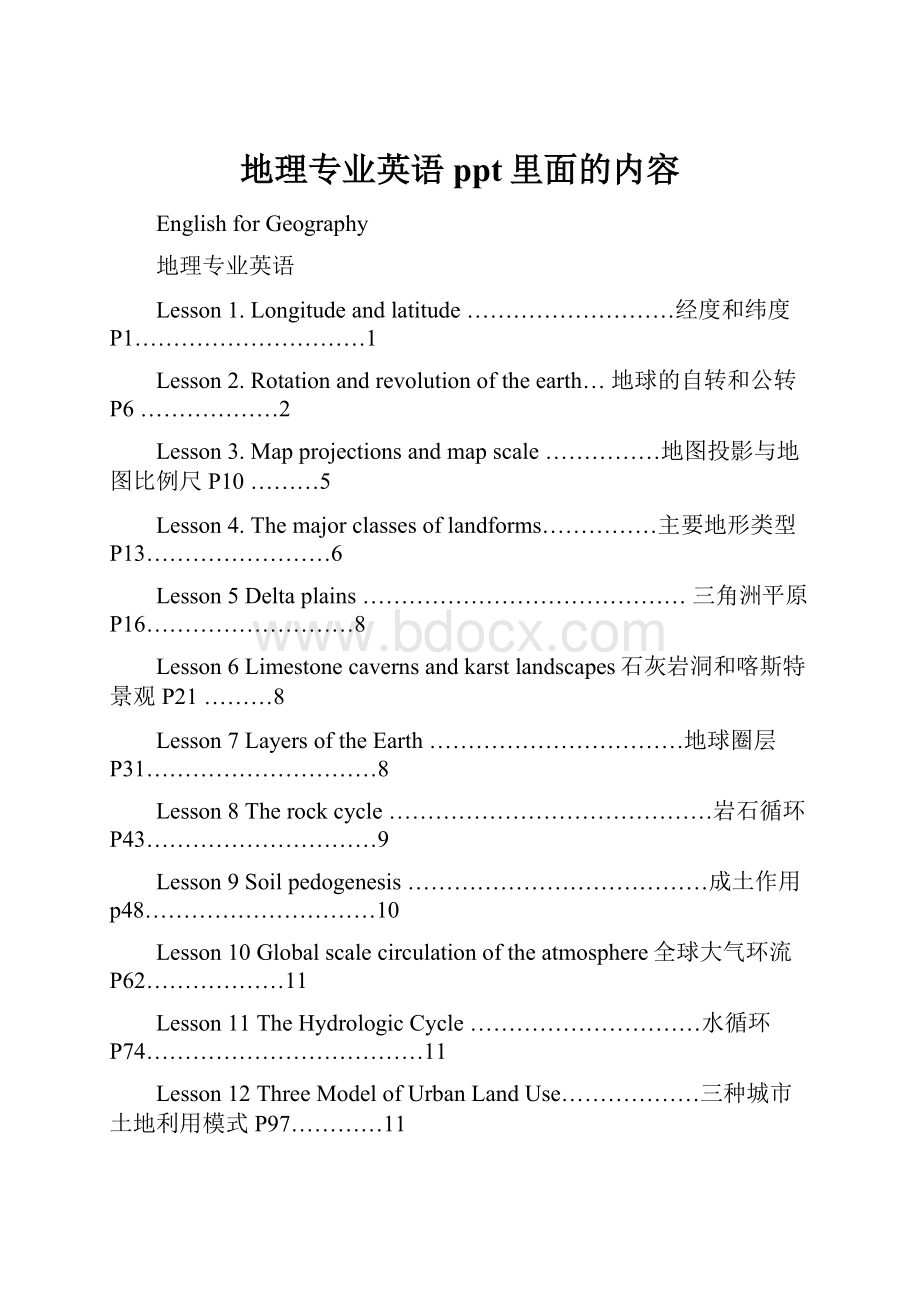
Lesson1.Longitudeandlatitude………………………经度和纬度P1…………………………1
Lesson2.Rotationandrevolutionoftheearth…地球的自转和公转P6………………2
Lesson3.Mapprojectionsandmapscale……………地图投影与地图比例尺P10………5
Lesson4.Themajorclassesoflandforms……………主要地形类型P13……………………6
Lesson5Deltaplains……………………………………三角洲平原P16………………………8
Lesson6Limestonecavernsandkarstlandscapes石灰岩洞和喀斯特景观P21………8
Lesson7LayersoftheEarth……………………………地球圈层P31…………………………8
Lesson8Therockcycle……………………………………岩石循环P43…………………………9
Lesson9Soilpedogenesis…………………………………成土作用p48…………………………10
Lesson10Globalscalecirculationoftheatmosphere全球大气环流P62………………11
Lesson11TheHydrologicCycle…………………………水循环P74………………………………11
Lesson12ThreeModelofUrbanLandUse………………三种城市土地利用模式P97…………11
Lesson13Airpollutioncauseandeffects……………空气污染原因和影响P168…………12
Lesson14Hurricane……………………………………………飓风P182………………………………12
Lesson1.LONGITUDEANDLATITUDE
经度和纬度
1、Thelocationofpointsontheearth’ssurfacefollowsasysteminwhichlengthsofarcaremeasuredalongmeridiansandparallels;
测定地球表面上点的位置是按照沿着子午线(经线)和纬线测量弧长的方法进行的
2、thatdesiredpoint欲量算的点
3、thelongitudeofaplaceisthearc,measuredindegrees,ofaparallelbetweenthatplaceandtheprimemeridian经度的定义
4、thelongitudeofaplaceisthearc,measuredindegrees,ofaparallelbetweenthatplaceandtheprimemeridian某地的经度系该地与本初子午线之间的纬线的弧的度数
5、almostuniversally几乎一致
6、TheprimemeridianisalmostuniversallyacceptedasthemeridianthatpassesthroughtheoldRoyalObservatoryatGreenwich
人们几乎一致承认以通过格林尼治皇家天文台原址的子午线作为本初子午线
7、bereferredtoas被称为
8、Long.115。
18′02′′~116。
56′15′′E;Lat.23。
25′10′′~24。
46′30′′W梅州市
9、Ifonly只要要是、、、、就好,但愿
e.g.Ifonlyitclearup,we’llgo.只要天一放晴,我们就走
e.g.Ifonlyyouhadworkedwithgreatcare.你要是更细心一点该多好啊。
e.g.Ifonlyhearrivesintime. 但愿他及时赶到
10、Ifonlythelongitudeofapointisstated如果只有,如果只
11、thesamearcofmeasure相同的量算弧度appliestoanentiremeridian.
12、applyto+名词或动名词适用于、请求帮忙
e.g.Forparticulars,~theinformationdesk请求帮忙
13、theexpression词语
14、“ameridianoflongitude”经度子午线
15、Theactuallength,inkilometersormiles,ofadegreeoflongitude
经度一度的实际长度(以公里或英里计)
16、Itisalsousefultoknowthatthelengthof1°oflongitudeisreducedtoaboutone-halfasmuchalongthe60°parallels,orabout55.5km(34.5mi)到了60度纬线,经度一度的弧的长度减少到原来长度的二分之一左右,即55.5公里。
知道这一点也是有用的。
17、Thelatitudeofaplaceisthearc,measuredindegrees,ofameridianbetweenthatplaceandtheequator.纬度的定义
18、Thelatitudeofaplaceisthearc,measuredindegrees,ofameridianbetweenthatplaceandtheequator.某地的纬度系该地与赤道之间子午线的弧的度数
19、whenboththelatitudeandlongitudeofaplacearegiven,itisaccuratelyanypreciselylocatedwithrespecttothegeographicgrid.
确定了一个地方的经纬度,就可以在地里网格上精确地定出它的位置
geographicgrid地理格网
withrespectto关于、对于
e.g.Inrespecttothecontentthisessayisgood,butitisunsatisfactoryinotherrespects.
关于(至于)这文章的内容是好的,但其他方面不理想
20、constantvalue常值
21、forordinarypurposes通常情况下
22、bynomeans决不
23、large–scalemap大比例尺地图
24、small–scalemap小比例尺地图
25、Acircle,fittedtothecurvatureoftheellipseatthepole,islargerinradiusthanacirclefittedtotheellipseattheequator与极地椭圆相吻合的圆,其半径要比与赤道椭圆相吻合的圆的半径大
26、at15intervals每隔15度
27、Thefixedstar(sun)----planet----nebula---comet----meteor恒星----行星----星云----彗星---流星
28、SunMercury,Venus,Earth,Mars,Jupiter,Saturn,Uranus,NeptunePluto(×)
29、ThePlutoisdwarfplanet(矮行星)
Lesson2.ROTATIONANDREVOLUTIONOFTHEEARTH
地球的自转和公转P6
Rotation[rəu′teiʃən]自转
Revolution[rəvə′lu:
ʃən]公转
Polar[pəulə];地极的
axis[æksis]轴
Solarday太阳日
Solarhour太阳时
centrifugal[sen′trifjugəl]离心的
siderealyear恒星年
tropicalyear回归年
Vernal[′və:
nəl]春天的
equinox[′i:
kwinɔks]n.二分点
Vernalequinox春分(点)
calendaryear历年
leapyear闰年
Text
1、polaraxis极轴
2、periodofrotation自转周期
3、mean平均的、中间的、鄙陋的
meansolarday平均太阳日
meansolarhour平均太阳时
meantemperature(velocity)平均气温
meanmotive鄙陋的动机
meanopinion自卑感
Takeameancourse采取折衷方法
4、Thisdayistheaveragetimerequiredfortheearthtomakeonecompleteturninrespecttothesun.平均太阳日系地球对太阳而言完成一次自转所需的平均时间
inrespectto/withrespectto关于
5、applyingoneofthefollowingrules采用下列法则之一
6、Globe地球仪
Equator赤道
NorthPole北极
Parallel纬线
Meridian经线
ThePrimeMeridian本初子午线
northpoleoftheEarth地球北极
counter反的、逆的
counterclockwise逆时针
Counteract反作用
Countermeasure对策
7、theapparentmotionofthesun视太阳运动
apparent明显的,表观的,外显的,视
~angle视角;
~solartime视太阳时
body天体
8、Thevelocityofearthrotation,definedasrateoftravelofapointontheearth’ssurfaceinacircularpathduetorotationalone,mayeasilybecomputedbydividingthelengthofparallelatthelatitudeofthepointinquestionby24,theapproximateperiodofrotation.
地球自转速度的定义是地面上某一点仅由于自转而沿圆形轨道运动的速率,用该点所在纬度的纬线长度除以24(自转的近似周期),就可以很容易算出地球的速度。
inquestion正被讨论的
thepointinquestion该点
thejobinquestion该项工作
thebookinquestion该书
9、atconstantrate以恒定的速率
10、twoimportantphysicalphenomenaresultfromthedecreaseinrotationalvelocitywithincreaseinlatitude.
自转速度随纬度增加而减小,这导致了两个重要的自然现象
physicalphenomena自然现象
resultfrom起因于
11、thereisacentrifugalforcegeneratedbytheearth’sturningwhichgivessurfaceobjectsafainttendencytoflyoffintospace
地球自转产生了离心力,它使地面上的物体略有脱离地球飞向太空的趋势
centrifugalforce离心力
12、thiseffectismostmarked;bemarked;beobvious;beoutstanding显著的
13、Forexample,anobjectwhichwouldweigh289poundsattheequatoriftheearthwerenotturningactuallyweighslpoundless.
例如,一个在赤道上的物体在地球不转动的情况下重289磅,它称起来实际上要轻1磅
14、Anothereffectofthedecreasingrotationalvelocitywithincreasinglatitudeistocauseobjectsinmotiontobedeflectedslightlytotherightorleftoftheirpaths.
自转速度随纬度增高而减小的另一个影响,是使运动物体或左或右地稍许偏离轨道
15、theEclipticplane黄道面
16、Forexample,thetimerequiredfortheearthtoreturntoagivenpointinitsorbitwithreferencetothefixedstarsiscalledthesiderealyear.
例如,以某些恒星为参照物,地球转回轨道上特定的某一点所需要的时间为恒星年。
thefixedstars恒星
withreferenceto以…..为参照
siderealyear恒星年
17、Forearth-sunrelationshipsweusethetropicalyear,whichistheperiodoftimefromonevernalequinoxtothenext,andhasalengthofapproximately3651/4days.
我们用回归年来表示地球与太阳之间的关系,回归年是从一个春分点到下一个春分点的时间周期,长约365.25天。
18、ThevernalEquinox春分日ArcticCircle北极圈
Thesummersolstice夏至日AntarcticCircle南极圈
TheautumnalEquinox秋分日polarday极昼
Thewintersolstice冬至日polarnight极夜
19、tropic(天)回归线
thetropicofCancer(巨蟹座)北回归线
thetropicofCapricorn(摩羯座)南回归线
20、tropical热带的
thetropicalzone热带
thetemperatezone温带
thefrigidone;寒带
thetropicalstorm热带风暴;
21、hurricane飓风
SevereoceanstormsthatdevelopovertheIndianOceanarecalledcyclones.
StormsthatformoverthenorthwesternPacificOceanaretyphoons.
AndstormsthatformovertheeasternPacificOceanandtheAtlanticOceanarehurricanes
22、Everyfouryearstheextraone-fourthdaydifference(betweenthetropicalyearsandthecalendaryearof365days)accumulatestonearlyonewholeday.
23、Byinsertinga29thdayinFebruaryeveryleapyearweareabletocorrectthecalendarwithrespecttothetropicalyear.
每逢闰年,在二月份加上第29天,我们就能根据回归年来校正年历。
24、Furtherminorcorrectionsarenecessarytoperfectthissystem.
为了完善这个系统,有必要再作一些小的修正
25、Initsorbittheearthmovesinsuchadirectionthatifweimagineourselvesinspace,lookingdownupontheearthandsunsoastoseethenorthpoleoftheearth,theearthistravelingcounterclockwisearoundthesun.Thisisthesamedirectionofturningastheearthrotation.
Lesson3.MAPPROJECTIONSANDMAPSCALE
地图投影与地图比例尺P10
Mercatorprojection墨卡托投影
distortionn.畸形;变形
navigationn.航行;导航
convergev.会聚;集中
exaggeratev.夸大;夸张
comparisonn.比较;对照
continentn.大陆;陆地
simultaneouslyad.同时地
lineara.线的;直线的
graphica.图的;图解的
representativefraction分数比例尺
magnituden.大小
disproportionatelyad.不匀称地;不相称地
TEXT
1、introduce引起
2、acertainamountofdistortion一定程度的变形
3、curvedsurface弯曲表面
4、theamountofdistortion变形的程度
5、bedisregarded忽略不计
6、Aclassicinstanceofthisisthewell-knowMercatorprojection.典型实例
7、Mercatorprojection墨卡托投影
Equal-areaprojection等积投影
cylindricalprojection圆柱投影
8、exaggeratestheeast-westdimensionofareasnearthepoles
夸张了极地附近的东西幅度
9、Inadditionitexaggeratesthenorth–southdimension,sincetheparallelsarenotspacedevenlybetweentheequatorandthepoles,astheyareontheglobe,butgraduallydrawfartherandfartherapartwithincreasingdistancefromtheequator.
Inaddition另外
Inadditionto除---之外
Since因为
ontheglobe
ontheearth
10、OnaMercatormapthemathematicallocation(latitudeandlongitude)ofeveryplaceisaccurate,butareasnearthepolesarestretchedoutofshapeandaregreatlydistortedinsize,withthefamiliarresultthatGreenlandappearsbiggerthanSouthAmerica,thoughinrealityitisonlyone-eighthaslarge
mathematicallocation数学位置
withthefamiliarresultthat造成了总所周知的结果
aslarge=aslargeastheareaof………….
forvisalcomparison用作直观上的大小比较
11、Almostendlesswayshavebeendevisedtoprojectthecurvedsurfaceoftheglobeontoaplane.
为了将地球弯曲的表面投影到一个平面上,人们几乎想出了无数的方法
12、Onemusttakecarenottouseaparticularprojectionforsomepurposeforwhichitwasnotdesigned.
大家务必注意,不要把为了某种用途而设计的投影用于其它目的
13、Itmustberememberedthatnoflatmapcansimultaneously(同时)representtruedirection,truedistance,trueshape,andtrueareaforaparticularsegmentofearthspace.(地球空间某一个别部分的真实面积)
必须记住:
平面图不能同时表示真实的方向、距离、形状和地球空间某一个别部分的真实面积。
14、Forthis=~reason
15、globeisrequired我们需要球面图
16、Studentsshouldkeepinmindthe
- 配套讲稿:
如PPT文件的首页显示word图标,表示该PPT已包含配套word讲稿。双击word图标可打开word文档。
- 特殊限制:
部分文档作品中含有的国旗、国徽等图片,仅作为作品整体效果示例展示,禁止商用。设计者仅对作品中独创性部分享有著作权。
- 关 键 词:
- 地理 专业 英语 ppt 里面 内容
 冰豆网所有资源均是用户自行上传分享,仅供网友学习交流,未经上传用户书面授权,请勿作他用。


 #2机组现场施工用电布置措施.docx
