 测绘技术与矿山测量外文文献翻译Word格式.docx
- 文档编号:13096249
- 上传时间:2022-10-04
- 格式:DOCX
- 页数:16
- 大小:17.96KB
测绘技术与矿山测量外文文献翻译Word格式.docx
《测绘技术与矿山测量外文文献翻译Word格式.docx》由会员分享,可在线阅读,更多相关《测绘技术与矿山测量外文文献翻译Word格式.docx(16页珍藏版)》请在冰豆网上搜索。

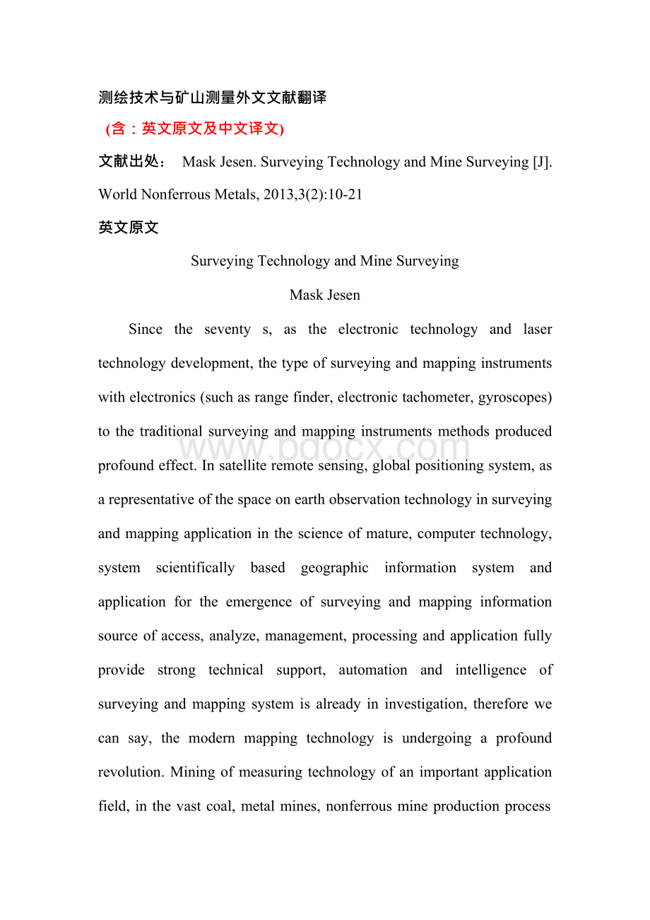
测绘技术与矿山测量外文文献翻译@#@(含:
@#@英文原文及中文译文)@#@文献出处:
@#@MaskJesen.SurveyingTechnologyandMineSurveying[J].@#@WorldNonferrousMetals,2013,3
(2):
@#@10-21@#@英文原文@#@SurveyingTechnologyandMineSurveyingMaskJesen@#@Sincetheseventys,astheelectronictechnologyandlasertechnologydevelopment,thetypeofsurveyingandmappinginstrumentswithelectronics(suchasrangefinder,electronictachometer,gyroscopes)tothetraditionalsurveyingandmappinginstrumentsmethodsproducedprofoundeffect.Insatelliteremotesensing,globalpositioningsystem,asarepresentativeofthespaceonearthobservationtechnologyinsurveyingandmappingapplicationinthescienceofmature,computertechnology,systemscientificallybasedgeographicinformationsystemandapplicationfortheemergenceofsurveyingandmappinginformationsourceofaccess,analyze,management,processingandapplicationfullyprovidestrongtechnicalsupport,automationandintelligenceofsurveyingandmappingsystemisalreadyininvestigation,thereforewecansay,themodernmappingtechnologyisundergoingaprofoundrevolution.Miningofmeasuringtechnologyofanimportantapplicationfield,inthevastcoal,metalmines,nonferrousmineproductionprocess@#@playedanimportantrole.Minesurveyofmoderntaskis:
@#@inmineexploration,design,developmentandproductionofthedifferentstagesoftheoperationofthegroundandundergroundminingarea,thespace,resources,(inmineralandlandresourcesandenvironmentaremainly)informationacquisition,storage,processing,displayanduseforreasonableandeffectivedevelopmentresources,protectingtheresources,protectingtheenvironment,management,industrialandenvironmentalservicesforthecontinuousdevelopmentofthestation.Inordertorealizeitsmoderntask,minemeasurementmustbemakingfulluseofmodernsurveyingandmappinginstrumentsandtechniques,puttheadvancedmoderntechnologywithminesurveyingtheactualwork,specificcharacteristics,andthecombinationofbroadenthelivingspaceminesurveyandbusinessscope,promotethereformanddevelopmentofminesurvey,adapttothemarketeconomysystemandminingsystemreformneeds.Electronictachometer,spaceinformationtechnology,theinertialmeasurementsystemandothermodernsurveyingandmappinginstrumentshavebeeninminesurveytechnologyisusedtofurtherdevelopmentandareconstantly.@#@Thispapertomodernsurveyingandmappinginstrumentsofthedevelopmentofthetechnologyanditsapplicationinmine.@#@1Electronictachometeranditsapplicationinminesurvey@#@Electronictachometerasthemostwidelyusedsurveyingand@#@mappinginstruments,iselectronictechnologyandopticaltechnologydevelopmentofthecombinationofthephotoelectricmeasuringinstrument,isalsosetrangefinder,electronicadvantagesinawiderangeofinstruments,applicationprospects,theintelligentelectronictachometeriscurrentlythebiggestsellingsurveyingandmappinginstruments,isalsothemainfuturedevelopmentdirection.Intelligentelectronictachometeriswithlight,electricityandmagnetism,machineofthelatestscientificachievements,setthelocation,measuringAnglefortheintegrationofadvancedinstrument.Theinternationaladvancedelectronictachometerareonamemorycard,internalmemoryorelectronichandbookway,wayofdoublerecorddatatransmissioncommunicationfunction,canreceiveexternalcomputerinstructionbythecomputerinputdata,alsocantooutsidethecomputeroutputdata.TheinternationaladvancedelectronictachometerhaveJapaneseSOKKIAPOWERSETseriesproductionofelectronictachometerandSET5F,SET6F,SET5Welectronictachometer,SwissproducestheTCA100andTCA1800electronictachometer,JapanNIKONDTM-Aseriesofelectronictachometer,etc.OurcountryhasjustsouthofthesurveyingandmappinginstrumentscompanyproductionNTS-200serieselectronictachometer.Electronictachometerhassetupafileintheengineeringsurvey,minesurveying,cadastraletcawiderangeofapplications,itsdevelopmentandapplicationisinrapiddeveloping.Electronictachometerbecauseandhastheadvantagesoftransitandrange@#@finder,andprovidemeasurementresultsindigitalform,itssimpleoperation,stableperformance,datacanbethroughtheelectronichandbookandthecomputertocarryontheadvantagesofcommunicationinthemineinthemeasurementofawiderangeofapplications.Thegroundcontrolsurvey,topographic,engineeringsurveyingallavailableis,contactmeasurement,themeasurementworkcanalsobeusedinundergroundiToasarepresentativeoftheintelligent,digitalinstrumentisminesurveyinginstrumentoneofthedevelopmentdirectioninthefuture.Basedontheelectronictachometerandthemoderncomputertechnologycanestablishamine3ddatatobeautomaticcollection,transmission,processingofminesurveyingdataprocessing
- 配套讲稿:
如PPT文件的首页显示word图标,表示该PPT已包含配套word讲稿。双击word图标可打开word文档。
- 特殊限制:
部分文档作品中含有的国旗、国徽等图片,仅作为作品整体效果示例展示,禁止商用。设计者仅对作品中独创性部分享有著作权。
- 关 键 词:
- 测绘 技术 矿山 测量 外文 文献 翻译
 冰豆网所有资源均是用户自行上传分享,仅供网友学习交流,未经上传用户书面授权,请勿作他用。


 (完整word版)信息论与编码期末考试题----学生复习用.doc
 (完整版)固定资产盘点表.xls
